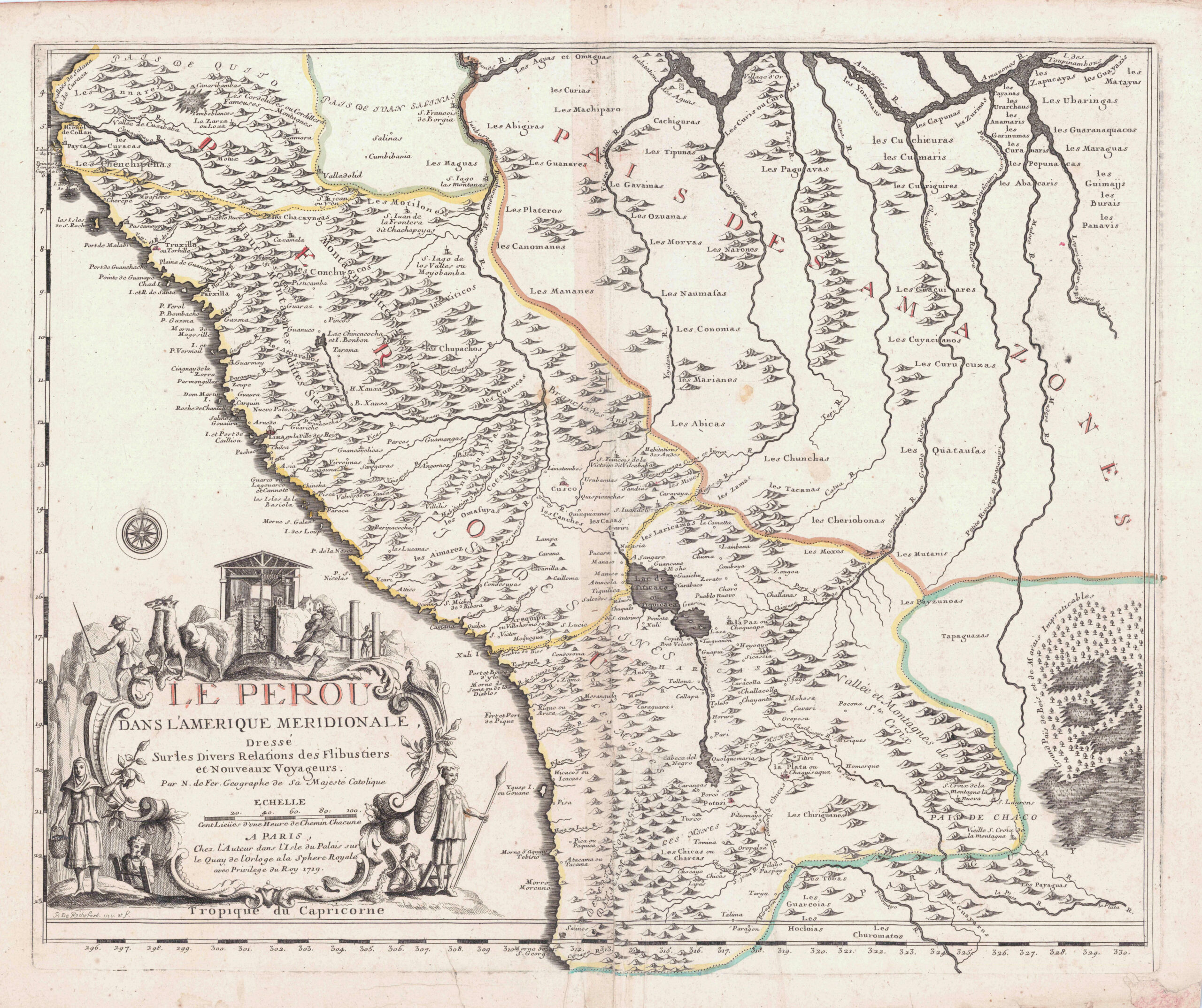
DE FER, Nicolas
Le Perou Dans L'Amerique Meridionale . . .
Paris, 1719
- Condition: B
- Couleur: Contours coloriés à l'époque
- Technique: Gravure sur cuivre
- Edition: Édition Originale
- Description de l'état: Restaurations anciennes au dos et en marge, pliures, petites taches.
Référence: 496-68
425,00 €
Disponibilité : 1 in stock
poser une questionDescription
La carte du Pérou de Nicolas De Fer.
La carte s’étend l’équateur au Brésil actuel et comprend de nombreuses indication cartographiques telles que l’emplacement des colonies amérindiennes, les rivières, lacs et reliefs. Elle est illustré d’un cartouche illustré figurant des personnages et des lamas.
Produits connexes
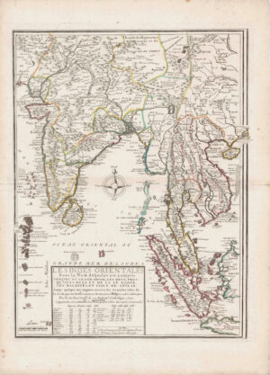
DE FER, Nicolas
Les Indes Orientales sous le Nom de queles est compris L’Empire du Grand Mogol . . .
2 200,00 € Add to cartRéférence: 496-16
Bel exemplaire de la grande carte des Indes orientales de De Fer
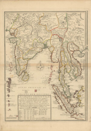
2 200,00 €DE FER, Nicolas
Les Indes Orientales sous le nom de queles est compris l’Empire du Grand Mogol les deux Pris…
1 100,00 € Add to cartRéférence: 677-6
La carte de De Fer est centrée sur les Indes orientales.
1 100,00 €DE FER, Nicolas
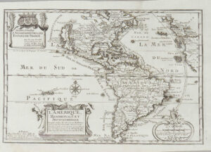
L’Amerique Meridionale et Septentrionale
425,00 € Add to cartRéférence: 454-14-CPVKTHCS
425,00 €